MAPPING/MANAGING Urban Mediation
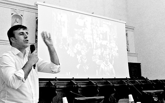
I’m gonna share with you one of the story that have marked my life: since I was 14 years old I became basketball referee. The referee is one who is in the middle of the game and I learned 3 things from that experience, that has been valued for the rest of my life. One thing that I learned was to deal with information to make real time decisions when, in a certain moment of the game, it happen something: in a microsecond I take a decision.
The second thing that I learned is that the game, as a city, is a process, it is not an ended thing is a process where many people take place and where you really introduce the time information in order to understand that.
So if I want to understand a previously game replay I don’t see an image, I see a video: through the time you understand what happening in the process, you understand who is taking place. The third thing that I understood that I’m the mediator, in the processes. In the process you are always changing, you never make the decisions how has gonna end, you know that you have some informations, are you interactive with some other people and you are mediating in order to things happen in a correct way: so I was the judge, I was the mediator, and I think this is in order to understanding on urban planning.
My role in an urban planning is a mediator, an urban mediator that taking information and take part in the process and help everyone to go to somewhere else they never end. So for me is how the city works.
You know that we are now in the third industrial revolution. We are in a very important time and there has been three industrial revolution that are connecting with three economical systemic crisis. One of these was in 1880 and it was the first industrial revolution; the second one was in the 1929, it was the second big revolution and crisis. I talk about systemic crisis, technological crisis, economical crisis and sociological crisis, where society changes and the cities changes. The third one was…now!
The third revolution is connect with three main topics: technologies revolution, environment and ecosystem. And with the digital aspects, the data; so the data has became the centre of our century.
One important aspect of each of these revolutions is that every time everything is speeding up; everything goes faster. The communication, the physical communication, the non-physical communication goes faster as cities go every time faster.
These processes needs information, very fast information to make real time decisions in certain time that a planning cannot go with. So things go faster and the decisions on the city – the place where everyone lives – it should be faster than urban planning, so I think the planning and the organization of the city needs a kind of other tools, in order to make the people live together in peace.
The data working a key role in making decision for urban planning.
In 1927 there was an urban planner that was trying to use the data to articulate the traffic in the city: he collected one thousand people volunteers, school children and researchers and he put them on the top of the houses to count the people, and the cars. So they were organized two thousand people a day that counting how many people passing by, the cars and the cars plate… They were trying to understand through the data, how the flow of the people and the flow of car was.
Today we have micro sensor that can do this with one computer, one person, in a microsecond counting the all information in one city. So this is the speeding up, is how thing speed up. Society has sensors controlling in every city, they put the sensors in every place to control in real time what’s happening and make real time decisions.
Today there are many project to control the people, we are controlling every of you, we have information about you: information about what you do, what are you publishing in the social network, where you spend your credit card, everything is recorded. Somehow this information can be used in a good way or in a bad way.
The cool thing is that this is the proof that the society are changing radically: the people are tired, people want to participate, they want to have everything participator, everyone can take places and I think urban planning also must be participatory.
LUIS FACON
inATLAS
IN-ATLAS
InAtlasis a ICT company specialized in Geospatial Big Data and Location Analytics. Ithascreated an online business solutionthatallowsusers to integrate urban data in onesimpledashboard.
Itisaimed to giveservices to companies where location play a key business role, and to cities on helpingimplementingurbansocio-economicpolicies. inAtlastechnologyhasalreadybeenused for severalurban and territorialstrategicplans, both with cultural and naturalheritage backgrounds (UNESCO recognition).
CURRICULUM
Luis has a Master in Strategic Planning from the BerlageInstitute, Rotterdam (2001), a degree in Architecture and Urban Planning from the Uni-versity of Las Palmas of Gran Canaria – ULPGC (1997). He is Co-Founder and CEO of Big Data and Location Analytics company inAtlas. He isalsoDirector of Urban Consultancy and Strategic Planning atIntelligentCoast, he specialized on reconversion of TouristDestinations. Luis Fal-cónisMember of the SectorialCommission of Knowledge and Strategy of the TourismTable of the Generalitat of Catalonia. He isalsoMember of the Advisory Board of Tourism Campus of the GironaUniversity.


